Geologic Services
Mississippian Mission Canyon formation displays prominent limestone cliffs along the Missouri River near Toston, MT.
Oligocene basalt pipes (red) intrude the Spokane formation in the North Helena Valley, as revealed by magnetic surveys.
Geologic Interpretation
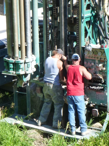
Geologic mapping, well location selection and logging, and subsoil investigations are key to delineating your mineral or water resources. Geolex can perform mineral evaluations for mining ventures or conservation easement properties, well siting for residential or industrial water supplies, and structure contour mapping for subsurface drilling programs.
- Geologic mapping and soil classification
- Mineral resource assessment/oil and gas
- Aquifer characterization
Erosion reveals subsurface strata in the Eastern Montana badlands.
The Empire formation of Going-to-the-Sun Mountain contrasts with the red Grinnell formation of Red Eagle Mountain in Glacier National Park.
Tertiary volcanics make up Pipe Organ Rock south of Dillon, MT.

Structural mapping with combined resistivity and GPR to determine extent of exposed coal beds north of Thermopolis, WY.
Cretaceous syenite outcrops on the southwest slopes of the Crazy Mountains near Clyde Park, MT.